Stage Summary
| Starting Point | Ålgaberget Vindskydd |
| End Point | Eriksstugan |
| Length | 17,0 km |
| Duration | 4:53 h |
| Elevation Gain | 470 m |
| Difficulty | Easy |
| Highlights | Vågsfjärden, Vedasjön, Körningsberget |
Route Description
After a couple of rough sections of trail on Stage 2 of the Höga Kusten Leden, today’s stage is much smoother in terms of trail conditions. Head north from Ålgaberget down the mountain until you reach a small forest road. Turn left and continue along it following the signs until Vännersta. These first 6 kilometers of the day are quickly finished, as you are almost always walking along roads or pistes for cars with long straights and little traffic.
The most interesting things along the way are probably the two „mini museums“, that tell the story of local life and how it was like to grow up in the area before the industrial age. In each of the museums there is also a guest book, where you can see when the last hikers passed by. This was especially interesting to us, as we had only encountered two other groups of hikers at this point on the Höga Kusten Leden.
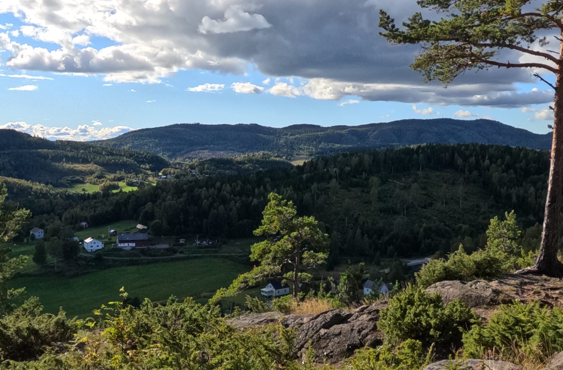
Shortly before Vännersta, you get a first good glimpse of Vågsfjärden. This lake on which the town of Nordingrå sits, contains many smaller and bigger islands and is surrounded by lush green fields and woodlands. In order to enjoy the scenery you can stop for Fika at Konstbyns Kafé. Although the café itself was closed during our visit, the art gallery is open all year round and the owner still sells coffee to anyone passing by. We could enjoy the views of Vågsfjärden from their terrace before continuing along the trail.
From Vännersta a small hiking path crosses through fields and small woodlands towards the lake passing Vännerstasundet on the way until dropping you at the road into the small village of Körning. Here, the trail makes a sharp left, but you will almost certainly want to make a detour into Nordingrå, where a supermarket and a restaurant can be found. The extra trip into town adds roughly 2 kilometers to today’s stage.
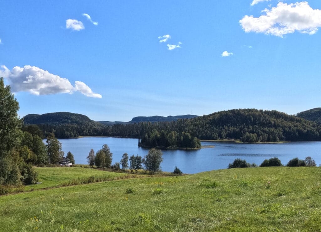
Back in Körning continue on the Höga Kusten Leden into the forest up into the mountains. Roughly 10 minutes after having left the village behind you will see a sign for a lookout point called Körningsberget. It is a bit off the trail but absolutely worth the detour. With views over the lake and the deep green landscapes surrounding it, this is the perfect spot for an afternoon snack.
After Körningsberget, proceed northwards. Pass by the many small lakes in the process and resist the temptation to relax there for too long. The Vedasjön especially was absolutely stunning in the afternoon sun. Press on further into the village of Främmerveda. The last section of trail before reaching the road into Främmerveda can be in quite bad condition though. Having had no rain the 3 days prior, the path was still muddy and slippery when we passed the area.
From Främmerveda the Höga Kusten Leden follows the road for a couple hundred meters north before making a left into the forest. What follows is a steep incline and probably the hardest part of the trail on this stage. The goal is to reach the top of Ringråberget, where a cabin for hikers with the name of Eriksstugan can be found ,where this stage ends. Although the forest seems rather dense and wet at first you will notice a change in vegetation at the top with less trees, fewer streams and a slight breeze around, making it suitable to pitch a tent there for the night.
Important Tips
1:
There is no water source along the first 6 kilometers of the trail, so if you run out of water in the morning, you have to get going. The first spot to fill your bottles is at Konstbyns Kafé.
2:
The small town of Nordingrå is the first possibility to replenish your provisions. There is an ICA supermarket and a pizzeria in town.
3:
When reaching the top of Ringråberget do not turn right towards Eriksstugan immediately. First, head roughly 200 meters further along the trail down the mountain on the other side. There you can find a fresh water source to fill up your bottles.
Highlights and Stops along the Way
Vågsfjärden
This lake is nestled picturesquely into the landscapes of Nordingrå. Originally this lake was a sound connected to the Baltic Sea, but in the early 1800’s the land’s uplift in Northern Scandinavia cut that connection between the two.
Körningsberget
This scenic viewpoint over Vågsfjärden is a short detour from the official trail but an absolute highlight on Stage 3. Here, you can find another ARKNAT shelter in the form of an elevated wooden cube attached to a tree.
Vedasjön
Vedasjön is a lake to the north of Nordingrå. This green oasis is perfect for a swim before the ascent to Ringråberget.
Overnight Stays
Camping
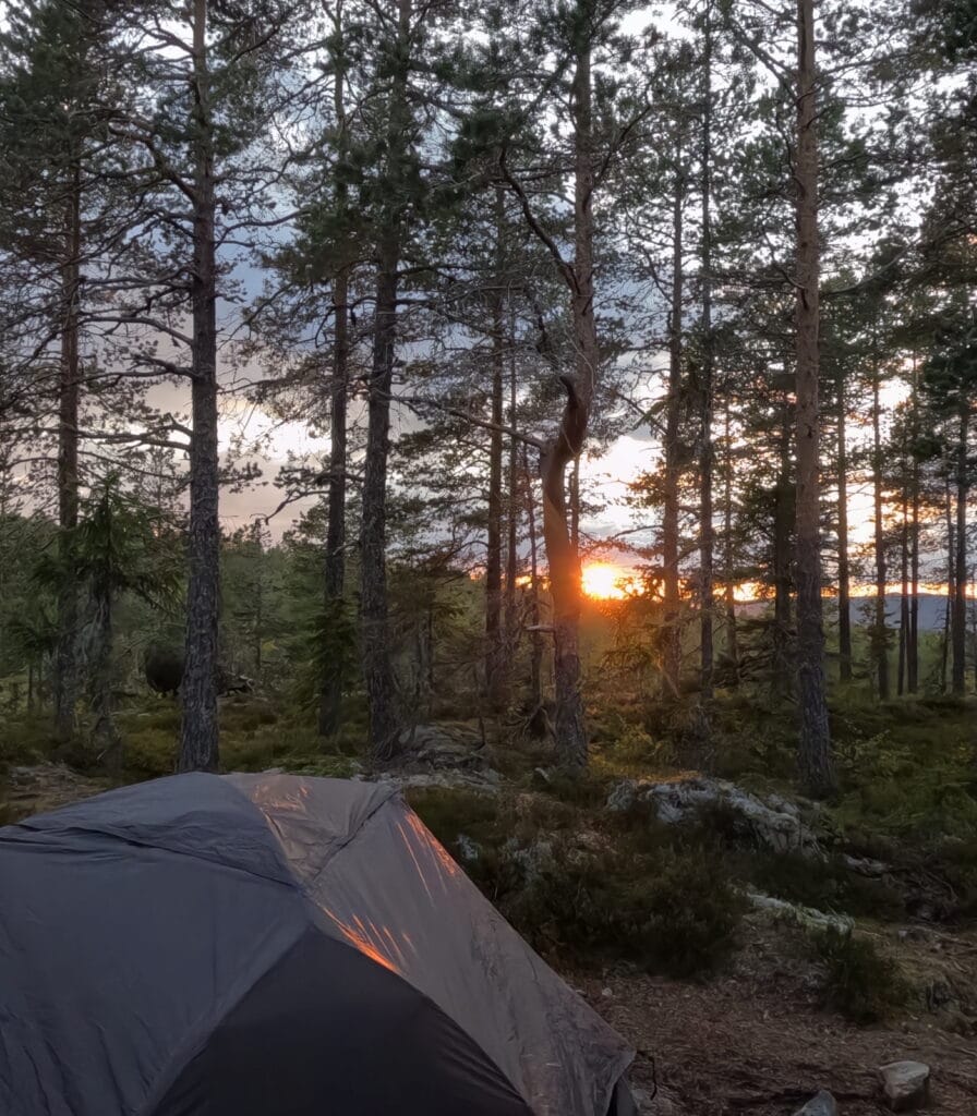
Today’s stage ends at the top of Ringråberget. The top plateau, on which it is easiest to spend the night has a much greater prominence than surrounding mountains, allowing you to enjoy a nice sunset without any obstructed views.
In the middle of the top plateau sits Eriksstugan. This small unserviced hut has two beds and an oven, though the latter was broken, when we took a look inside. The area around the hut offers several clearings for placing a tent with the best spot in my opinion being right here at the edge of the top plateau offering the best views down over the endless forest towards Ullånger. There are no amenities here, so bring everything you need with you.
Accomodation
On Ringråberget there is no accomodation. Your best option is to hike down into Ullånger which takes another hour and a half. There, you can find multiple hotels and guesthouses.