Stage Summary
| Starting Point | Rödhällmalen Vindskydd |
| End Point | Ålgaberget Vindskydd |
| Length | 17,6 km |
| Duration | 5:00 h |
| Elevation Gain | 390 m |
| Difficulty | Moderate |
| Highlights | Nilsberget, Svartviken |
Route Description
Having packed up camp, head off along the rocky shoreline of Grönsviksfjärden. Starting early in the morning, we were able to watch the fog hover over the surface of the calm waters, slowly being eaten up by the sun. Definitely a beautiful start into a long hiking day on the Höga Kusten Leden.
After some time along the shoreline a left turn into the forest leads you towards an asphalt road which you have to follow in order to cross the small isthmus connecting the peninsula to the mainland. When the road branches off towards the right you continue on the small path to it’s left through the woods along the Fjärdbotten Bay. At an intersection at the back of Fjärdbotten, there is the option to turn left onto a small grassy path, which continues along the shoreline. After a couple hundred meters along it there is an option to refill your bottles with spring water. There is also a campsite here, but I would not recommend staying here. It sits right by the water in a really green and wooded area, so there will be loads of mosquitoes and moisture. Views are also not that great compared to the previous spots.
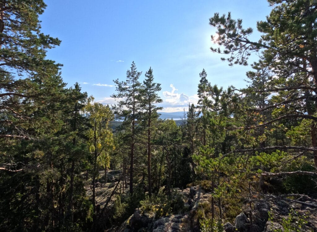
Head back to the intersection and turn left again back onto the main trail. The character of the path now changes from a gentle hike along the coast to more mountainous ups and downs. A complete change of scenery as the first stage is almost always near the water. Along this stretch the path is a mixture of hiking trails and forest access roads. After a long incline, you will reach the top of Nilsberget, signaled by a bench to sit and take a break on. The mountain is, as many other wooded areas in Northern Sweden, completely covered in blueberry shrubs, so our lunch was oats, water and a lot of blueberries ;). We stayed at that spot for around 1 hour basking in the sun before continuing along the trail.
Having tackled some more ups and downs along the rocky mountain top, the small path drops off steeply towards sea level. Conditions along this section of the Höga Kusten Leden are less than ideal though. There is a new section of trail here, which you are supposed to use, however, it was covered in shrubs and fallen trees, with steep drops on the loose forest floor. At some point we even questioned whether there was a path here at all, but the orange markers reassured us that this is actually meant to be like this. Definitely the worst section on the entire Höga Kusten Leden. My hope is that with more people the trail here will become more established and easier to walk on.
After finally reaching the street down in the valley, continue along the dirt road in the direction of Salteå. Once you enter the small village of Eden you have the option to branch of from the road, indicated by a small sign made by the guesthouse in Gavik. It indicates a much nicer section of trail and a kind of „shortcut“. It sits right on the intersection here. After some research I found out that both the official section and the unofficial „shortcut“ take roughly the same time to cover, but the experience is probably much nicer on the alternate route.
We dismissed the sign, continuing on the main road along Norasundet Lake until a small trail marker indicates a steep path up into the forest. Here the trail cuts across a small mountain range with some harsh inclines only to spit you out on the next dirt road which then leads you into Gavik. This was quite uneventful and boring to hike, so if I were to take this section on again I would choose the alternate route.
Once in Gavik, you have the possibility to fill up your water at GaviksTorpet B&B. Continue along the shoreline past Svartviken Bay until your reach today’s camp site.
Important Tips
1:
There is no supermarkets along the trail on this stage. However, if you hike during the summer months you can branch of from the trail at km 9,7 to reach the village of Östanö, where a small café can be found.
2:
The official trail from the village of Eden to the village of Gavik is boring and uneventful. Take the shortcut indicated by a small sign in the village of Eden here.
Highlights and Stops along the way
Nilsberget
Nilsberget is a mountain top located southeast of the town of Nora with extensive views over the surrounding coastline. A bench at the top is the perfect spot for a lunch break, being surrounded by wild blueberries on all sides and offering unobstructed views towards the bays and sounds of the Baltic Sea.
Svartviken
Although not an official highlight of the Höga Kusten Leden, the Svartviken Bay offers picture-perfect views of the Swedish coastal landscape, when viewed from the Ålgaberget Vindskydd. Being surrounded by steep wooded mountain cliffs on 3 sides the dark waters of the bay have an almost mystic feel to them.
Östano Skafferi
Only being open in the summer months, this café is the perfect spot for a rest stop and some Fika right after hiking down from Nilsberget.
Overnight Stays
Camping
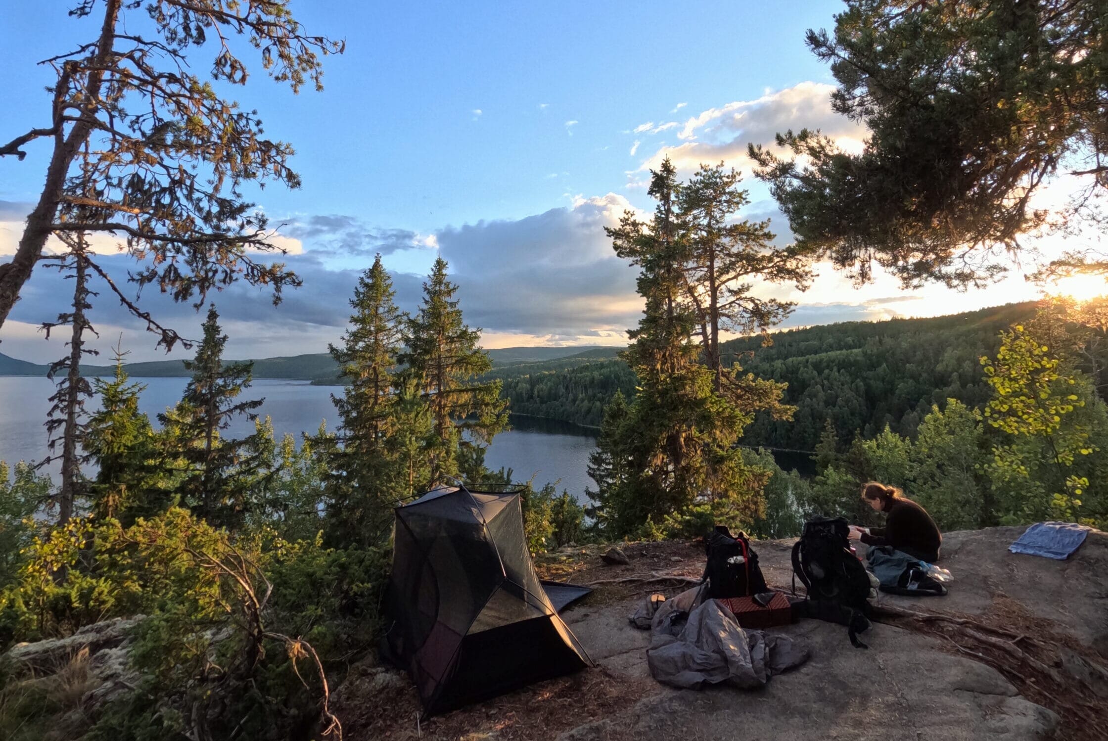
In terms of camping, there is really only one option along this stage: Ålgaberget Vindskydd. And to be honest you would not want to stay anywhere else, as this is probably the most picturesque camp spot on the entire Höga Kusten Leden and an absolute highlight in itself. It’s located right on top of a cliff overlooking Svartviken Bay and the inlets and sounds beyond.
It offers, as the name implies, one shelter you can sleep in together with a small fireplace out front. Other than that, no amenities are present. When we arrived at the shelter, there were actually already other people there but this was not a problem, as the surrounding rocks offer a couple more spots to pitch your tent with good views towards the bay, so there will always be room for others should it become crowded.
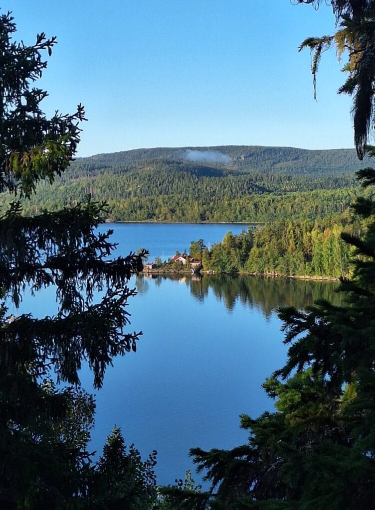
Other official camp spots are not nearby, as the terrain in the area is very mountainous. If you want to sleep near the water it is still possible to stay directly at the beach at Svartviken Bay here, as there are a couple of flat spots to pitch a tent. I would not recommend this option though as you will miss out on one of the best camp spots anywhere in the area.
Another possibility would be to stay in the village of Gavik itself. There GaviksTorpet B&B offers camp spots on their property for a small fee. In turn, you will be allowed to use a kitchen and bathroom facilities.
Accomodation
The only option here is the affirmentioned GaviksTorpet B&B, which is, according to Google, one of the best accomodations in the entire area. When we passed them we used a water tap, they were offering to hikers to fill up our bottles. We had a small chat with the owners and had we not already decided to stay at Ålgaberget Vindskydd, this typical Swedish farm house could have easily become our home for the night. Definitely one of the better option on the Höga Kusten Leden.