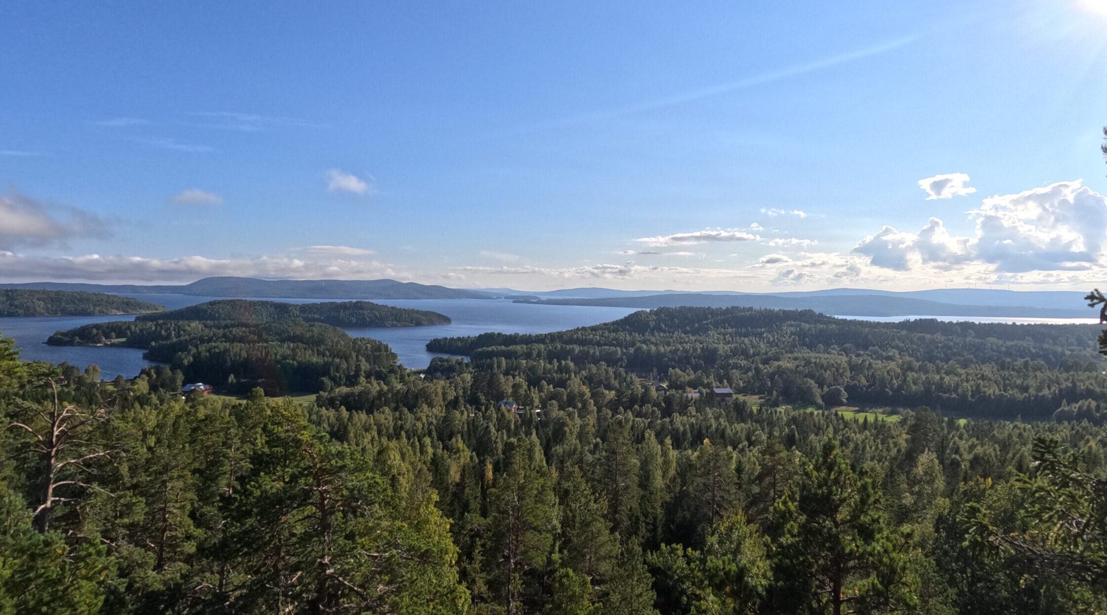
Stage Summary
| Starting Point | Hornöberget |
| End Point | Rödhällmalen Vindskydd |
| Length | 18,2 km |
| Duration | 5:05 h |
| Elevation Gain | 330 m |
| Difficulty | Moderate |
| Highlights | Svartnorbron, Kulberget, Valkallen |
Hiking Route and Tour Details
Before starting the Höga Kusten Leden
Reaching the starting line of Stage 1 is straightforward. From your accomodation in Härnösand, take Bus Line 50 in the direction of Örnsköldsvik and get off at „E4 Hornöberget“. Hike up the road towards the visitor center / hotel and grab some of the brochures concerning the Höga Kusten Leden. There are 4 different maps of the trail, each covering 2 or 3 of the official stages. Getting a paper map and additional information is quite helpful in case you run out of power.
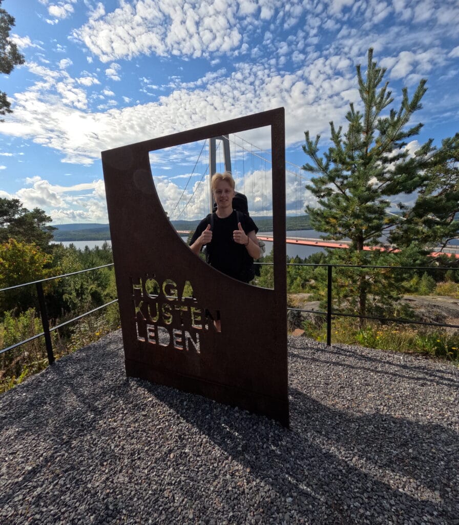
The trailhead is marked by a big sign of the Höga Kusten Leden with a small trail leading down towards the underpass under Högakustenbron right next to it. This is the official starting point of the trail.
The entirety of the trail is indicated by orange dots on the trees and stones. The density of trail markers it quite good, so following the correct routing should not be a problem.
Route Description
After heading down from the start sign, the trail leads you under the Högakustenbron and through a small forest until reaching the village of Nyadal, where you join a small street for about 2 kilometers until you reach the Lövvik peninsula via the Svartnorabron. Right after the bridge, the trail branches off from the road. While cars continue along the southern shore, you will get to hike along the more secluded northern coves and bays. The trail is not technical at all but can be quite uneven and requires some concentration.
After roughly another hour of hiking a sign will appear, which is worth remembering for the rest of the trail: „Vatten“, meaning water in Swedish. These signs sometimes indicate a water source, in this case in the form of a private house offering a tap for hikers to fill up their bottles. This is quite rare though and most water sources are just natural springs somewhere in nature.
Continue through the forests along Skärsättviken Bay. Keep in mind that the hilly trail through the woods can significantly slow your progress, especially in wet conditions. Dodging the giant puddles of mud can become a common occurrence on the Höga Kusten Leden. Therefore, the weather forecast will be your best friend.
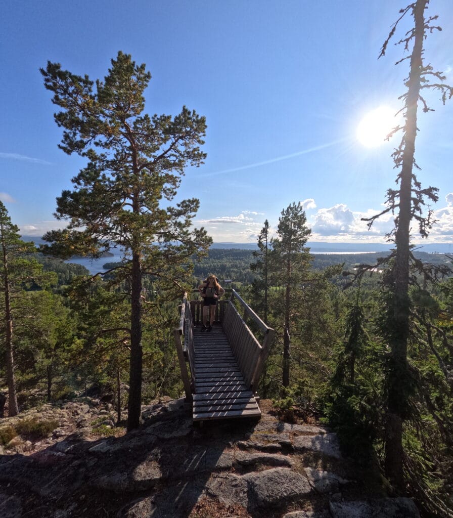
After some time, the path slowly turns away from the coast and gains more and more altitude until reaching the top of the Kulberget. From here you have amazing views over the bays to the south and get a glimpse of what is to come in the following days. Take a break here and have some lunch before continuing. There is also a small shelter right next to the viewing platform if you want to spend a night here.
Head down the mountain into the small village of Lövvik. On the paper map there is a marker indicating a shopping possibility here, but we could not make out anything even remotely resembling a supermarket in this sleepy village. Walk past the houses along the main road and head right at the parking lot of the trailhead to the Valkallen hike. This mountain is an optional addition to the Höga Kusten Leden and I can highly recommend it if time permits. Valkallen is even higher then the first viewpoint, reaching 240 meters in altitude, and offers unhindered views of the open sea in the distance. It adds around 1 hour of hiking to the time stated in the stage summary section. After enjoying the view from the top, hike down until Hälsviken Bay.
If you did not choose to hike Valkallen you will be here much quicker, as the official trail route only leads you along a quite flat forest with not real obstacles to cross. Here at Hälsviken, there are multiple campsites to choose from to stay the night. More details in the Camping Section.
Important Tip
Because infrastructure along the trail is minimal on Day 1 and 2, bring enough provisions from Härnösand to last you until Noon of Day 3. Although the backpack will thus be pretty heavy when starting the trail, the good news is, that it will never again be this packed, as more supermarkets and restaurants can be found on later sections of the Höga Kusten Leden. You will take on the most secluded part of the trail right at the beginning.
Highlights and Stops along the Way
Högakustenbron
The Högakustenbron is the largest suspension bridge in all of Sweden. It spans the Ångermanälven River and is a vital connection for Northern Sweden being part of the E4, the coastal highway important for transporting good to and from the north of the country. From the visitor center you will have an amazing view over it. The center also offers some amenities before the start of the Höga Kusten Leden.
Svartnorabron
Svartnorabron is a smaller road bridge connecting the mainland with the peninsula of Lövvik. Although not an official highlight according to the guide, we found the views to be exceptional and as there were basically no cars present on the road we could stay there for a minute or two to enjoy the scenery.
Kulberget
Kulberget is the first real mountain top you will reach along the Höga Kusten Leden. As the trail leads right past the wooden viewing platform, it requires no additional kilometers to reach it.
Valkallen
Valkallen is by all means the best viewpoint of the day and one of the best of the entire Höga Kusten Leden, although it requires an hour of hiking in addition to the normal path. If you have the time hike up to the top but skip it if it is already getting late or if you only have a limited time frame to finish the trail.
Pizzaboden Lövvik
This place is the only restaurant along the first stage. We did not visit it, but there were a lot of signs along the road and reviews of it are good online. As the next spot to get something to eat near the trail is 2 days away, stopping here is a good idea if you only have limited space for provisions in your backpack.
Night Stays
Camping
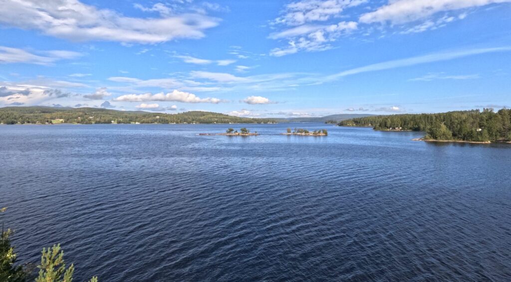
Setting up camp for the night is best to do in the Hälsviken Area. Depending on the time and your level of fitness, you can choose from several different spots, some with a shelter, some without. The first one you reach is located right at the end of the Hälsviken Bay. There are some small huts around, but there was no one present during our stay there in early September. Here you can find a wooden shelter and firewood as well as an outhouse. This spot is perfect for swimming as there is a small beach to get into the water. Water temperatures hovered around 16°C.
After heading off the next morning, we spotted several more campsites though, which had much better views. One is called Norrvarp Vindskydd, located right next to the rocky shoreline along the trail. At this location there is no sand beach but the views and overall vibe of the spot are much better than in Hälsviken. There was firewood there when we passed but other than that it had no amenities.
The third possible spot to spend the night is the Rödhällmalen Vindskydd, where the stage described here ends. It is one of 9 shelters in the ARKNAT series, which can be found across the entire Höga Kusten Leden. They are special as all of them have some striking architectural features which sets them apart from „normal“ shelters. In my opinion, this is the best spot to spend the night, but there are no real amenities here apart from a small beach and the wooden structure. Keep in mind that pitching a tent here is not really possible as there is barely any even ground. Views are exceptional though and you are only a stones throw away from the water and get woken up by the sunrise. Both Norrvarp and Rödhällmalen are situated roughly 1-2 kilometres further along the trail behind Hälsviken and sit on the rocky wooded shoreline.
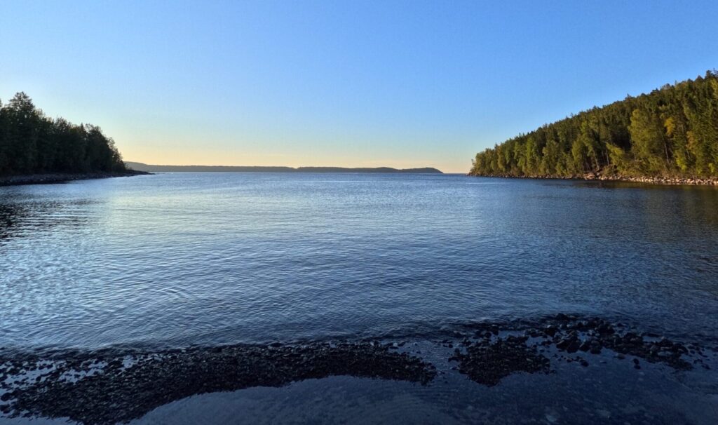
Overall, I would definitely recommend choosing the last spot if time permits and you have no problem sleeping in a shelter without a tent. With a tent I would recommend the second spot. If swimming is important to you though, the first spot offers the best beach.
Accomodation
If you want to take accommodation for the night instead of camping, stop in Lövvik. Here you can stay at Lövvik Bed and Breakfast or Sjobodviken. Don’t wake up late the next day though as the second stage will be quite long with roughly 27 kilometers to cover.