Stage Summary
| Starting Point | Skuleberget |
| End Point | Skuleskogens NP |
| Length | 19,9 km |
| Duration | 6:46 h |
| Elevation Gain | 790 m |
| Difficulty | Hard |
| Highlights | Skuleberget, Getsvedjeberget, Skuleskogens NP |
Route Description
The fifth stage of the Höga Kusten Leden takes you through two of the trail’s most impressive highlights: Skuleberget and Skuleskogens National Park. Although this stage is quite demanding, it rewards you plentifully with stunning views and incredible nature.
Heading off from the last camp spot at Friluftsbyn near Docksta, the first task to tackle is to climb Skuleberget. This mountain is the highest in the entire Höga Kusten Area and a tourist attraction in itself. Don’t expect to be alone here. Even in the early morning we encountered several hikers on the trail. In contrast to the days before the ascent here is much more exposed and technical, offering a thrilling ascent. Arriving at the top you will be met with the Toppstugan. This hut holds a restaurant with some amazing food on offer. From it’s terrace you have an amazing view over the landscape. If you arrive here after 11 am you can have a lunch to fuel you up for the rest of this long hiking day.
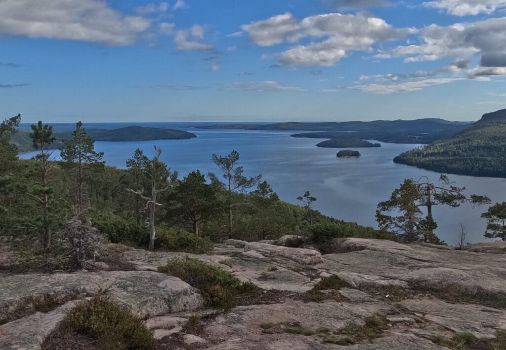
Hike down the Skuleberget on the other side and walk along the forest road until you reach the Naturum, the visitor center of the Skuleberget Area. This is the last place to get something to eat before Köppmanholmen, so a small rest stop here recommended. Continue along the E4 until you reach an underpass. Turn left to walk through it and then turn left again to follow a small path leading towards a parking lot in the center of the village of Veåsand. From there, a steep path leads you up straight towards the Getsvedjeberget. Sitting right along the Norrfjärden and not having any other mountain obstructing the view, the panorama from here is in my opinion even better then from Skuleberget with a lot fewer people to share it with.
The famous Predikstolen is a photo motif you cannot miss out on here. This rock cliff looks similar to the Preikestolen in Norway although the drop is a lot less dramatic with the forest floor being just a couple meters below you.
Leaving the second peak of the day behind it is now time to get some kilometers in. The way down the Getsvedjeberget is equally as steep and rugged as the way up but trail quality does not remain this bad for long. Soon after starting the descent you will encounter a small forest access road. Turn left and head along it for roughly 200 meters before another trail on the right hand side begins. This trail, although small, is in much better shape then the sections beforehand. It leads through forest after forest avoiding the village of Käxed and dropping you off at another forest access road. Again, you have to take a left and follow it for a couple hundred meters before turning right back into the woods.
You will notice, that the landscape turns increasingly rugged and wild the closer you get to the Skuleskogens National Park. A last sign of human settlement before entering is the small village of Käl. Here, you can find a small shelter and a water tap constructed for hikers passing by. Use it to fill up your bottles, as after that point there is no tap water available anymore, just streams and lakes.
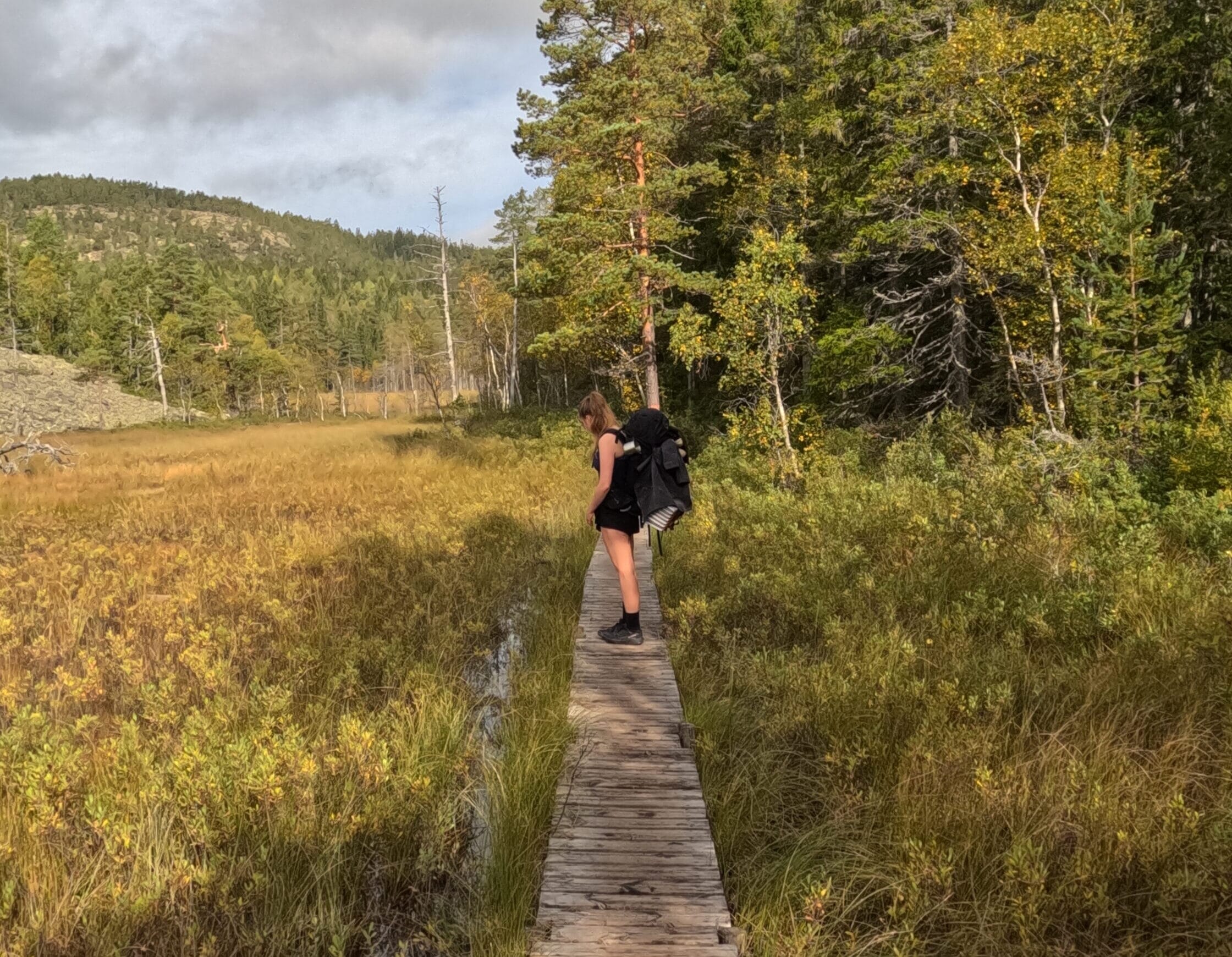
Behind Käl the Höga Kusten Leden follows the dirt access road towards the official southern entrance to the National Park. Once you reach it, follow the signs towards Slåttdalsskrevan. Although the trail rises steeply up the mountain face, progress inside the national park is much quicker as all paths here are in pristine condition. Along many parts of the forest floor along this stretch, planks are laid out to make the hike a little easier. Very much appreciated after 16 kilometers of hiking.
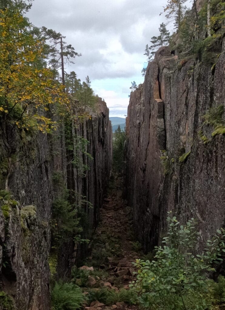
The aforementioned Slåttdalsskrevan is the iconic highlight of the Höga Kusten Leden and you will know why, once you reach it. Essentially, it is a 200 meter long and 60 meter deep stone crevice tucked between the cliffs to the left and right. Being the result of volcanic activity and erosion a long time ago, this striking natural formation looks out of this world.
The trail takes you past the northern entrance, up over the mountain to it’s left and then around to the southern side, so you will be able to have both perspectives of the crevice. From here, it is only a short hike down the steep rock face until reaching the Tärnättvattnen. Along the shore of this lake there is a beautiful camp site offering the perfect opportunity to go for a swim after a long day hiking. This stage ends here, but there are several other camp sites to choose from, depending on your fitness level. More on this in the camping section.
Important Tips
1:
Inside of the National Park, wild camping is forbidden. Pitching your tent or bivouacking is only permitted in designated areas.
2:
Bring enough provisions with you on this stretch, as after Docksta, there is no supermarket anymore. The next one will only be reached around noon of day 6 on the Höga Kusten Leden.
3:
The loop you have to do in order to cross the E4 after passing the Naturum is kind of unneccessary. There is nothing of interest on the way. You can therefore, if you want to safe a couple hundred meters, just cross the E4 at this intersection.
Highlights and Stops along the way
Skuleberget
This 295 meter tall peak is the highest summit in the Höga Kusten Area. It’s almost vertical cliffs along the east face give it a dramatic appearance. Skuleberget is a tourist attraction in it’s own right, offering a chairlift, a restaurant on the top and several climbing and hiking routes.
Getsvedjeberget
This mountain is located right next to Skuleberget and offers unobstructed views over the adjacent bays and the Skuleskogens National Park. The Predikstolen near the top offers the chance for a unique photo motif.
Skuleskogens National Park
The Skuleskogens National Park is with no doubt the highlight of the Höga Kusten Leden. The wild nature and dramatic rocky plateaus set it apart from the rest of the trail. The signature Slåttdalsskrevan is the signature photo spot on the entire Höga Kusten.
Toppstugan Skuleberget
A special mention goes to the restaurant on top of Skuleberget. Not only is the view excellent but the views from the terrace of Toppstugan are absolutely phenomenal.
Naturum Skuleberget
The Naturum is the visitor center of Skuleberget. Inside, an exhibition explains in detail how the unique landscape of the area came to be.
Overnight Stays
Camping
The fifth stage ends at the Tärnättvattnen camp site, but there are several others to choose from depending on your preferences. In my opinion, the lake is best if it is very windy as all other spots are quite exposed. It also offers the most amenities, having a small hut for hikers, water and an outhouse. On the other hand, it is the only one not by the sea, so you will miss out on some of the views. I chose to end this stage at this spot though because it is the only one right next to the trail.
We discovered the spot only on the sixth day though, when walking past. The reason why we did not make it here in time was a heavy downpour, which we had to wait out during the day. For this reason, we stopped right on front of the National Park and pitched our tent at Kälsviken. This spot was very beautiful nature-wise sitting right on a sandy beach perfect for an extended swimming session in the morning. It also offers several shelters and places to make a fire. What we did not like was the amount of people here. While we had most other spots completely to ourselves there were at least 5 other tents around us. We walked a bit further and found a more secluded spot but this dampened our experience there a bit.
Still, I would recommend staying here if it is already late when you arrive to the southern entrance of the National Park. It is over 1,5 hours until the Tärnättvattnen, so it might be dark when arriving there.
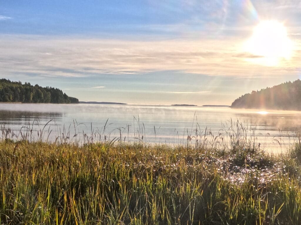
2 other places I can recommend are Salsvikens Tältplats and Tärnättsundet. Both spots are beautifully located right in the middle of the National Park, but require you to hike even further from Tärnättvattnen. We did regret not having made it to one of those as they were much more secluded than Kälsviken. Especially from Tärnättsundet views over the water were crazy, when passing by.
Accomodation
In terms of actual accomodation you are a bit out of luck here. Within the National Park or near it’s borders there are no hotels or B&B’s, so either you have to push through all the way to Köppmanholmen in one day or order a taxi from the southern entrance back to Docksta and return there the next morning to resume the hike. At this stage it becomes visible why it is not recommended do hike the Höga Kusten Leden completely without a tent.