Stage Summary
| Starting Point | Eriksstugan |
| End Point | Skuleberget |
| Length | 19,9 km |
| Duration | 5:40 h |
| Elevation Gain | 350 m |
| Difficulty | Easy |
| Highlights | Fäberget, Skuleberget |
Route Description
After 3 days in the rural countryside of Sweden, Stage 4 brings you back into civilization. This stage passes two larger towns, Ullånger and Docksta. It goes more or less parallel to the E4 Highway connecting the southern and northern part of the Höga Kusten Leden. If you only have a limited time frame to hike the trail and have to cut out one section I would recommend that you skip this one. Not necessarily because it is a boring section but because it is possible to take a direct bus from Ullånger to Docksta every hour. On other stages taking such a shortcut with public transportation is simply non existent.
Having slept on top of Ringråberget the night before, Stage 4 starts with a long descent into Ullånger through the forest allowing you to make quick progress. The sometimes overgrown trail spits you out at a road right in front of the town. Head through the underpass under the E4 and down the main road heading north. In the town there are multiple opportunities to resupply before resuming the hike on the Höga Kusten Leden.
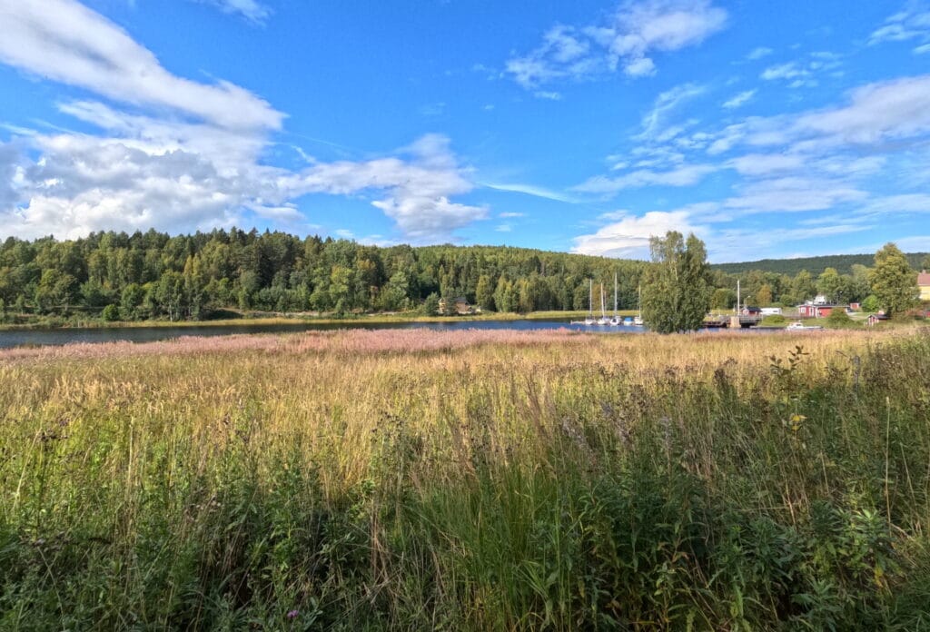
After Ullånger, the trail winds it’s way up a steep slope towards Mäjasjön. This lake in the middle of a rocky meadow could also have been a perfect camp spot after stage three, but the distance to cover from Gavik is quite long, but if you feel fit enough then go for it. There is a small museum there and a lot of free amenities for campers.
From the lake, follow the forest road back down the mountain. Overall, Stage 4 is characterized by a lot of ups and downs. At the bottom you will reach a small road. Turn left and then left again onto the dead-end road Knäppavägen. At the end of this road is the official half-way point of the Höga Kusten Leden. Pass the last houses, where the walking path turns into a small forest trail again. Hike through the birch forest until you reach the E4 highway again at the villages of Sjöland and Skoved.
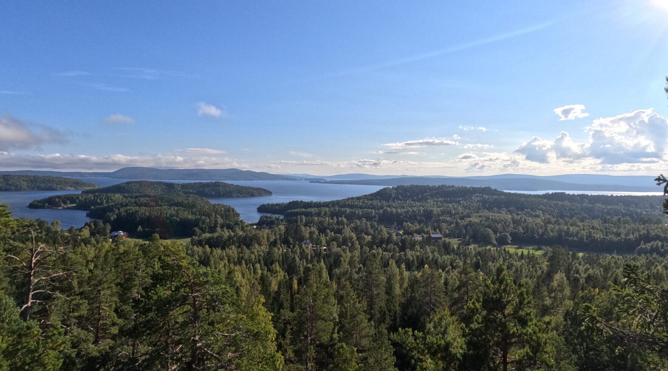
If you have the time or reach this point of the trail in the late afternoon, I can highly recommend taking the detour to the summit of Fäberget. It takes roughly 1 hour and 20 minutes to hike up and return to the valley again. At the summit there is a small wooden shelter and multiple camp spots right at the cliff with amazing views overlooking the Ullångersfjärden, so I can only imagine how beautiful it must be here at sunset.
Leaving Skoved behind, the trail crosses another small mountain pass with the viewpoint of Per Olsbo at the top before leading back down and into the town of Docksta. For some reason Docksta felt much nicer than Ullånger. Apart from the E4 highway the town had a more relaxed vibe going for it. Especially the views over the bay on one side and the towering Skuleberget on the other side are a feast for the eyes.
Follow the small stream at the end of Docksta northwards to the Gällstasjön. Here the fourth stage ends at the FriluftsByn camping area at the foot of the towering Skuleberget. You can of course press on and hike up to sleep on top of the mountain or just stay here and relax by the lake. More about this in the camping section.
Important Tips
1:
If you run low on gas for your burner, this stage is the only option to buy new cartridges on the Höga Kusten Leden. In Sweden, they are not sold at supermarkets but rather in gas stations, with the only one’s on the Höga Kusten Leden being in Ullånger and Docksta.
2:
There are supermarkets and restaurants both in Ullånger and in Docksta. When in Docksta buy enough food to last you 1,5 days as the next supermarket only comes along in the middle of Stage 6.
Highlights and Stops along the Way
Mäjasjön
This lake sits north of Ullånger in a small rocky meadow. It is perfect for a relaxing break and a swim in the cold water.
Fäberget
This mountain sitting on a peninsula jutting out into the Ullångersfjärden offers breathtaking views over the long sound and the wooded mountain ranges in the distance. There is also a shelter here to spend the night if needed. Probably one of the best viewpoints on the entire Höga Kusten Leden.
Skuleberget
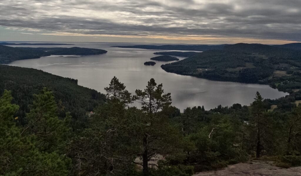
The Skuleberget is the highest and steepest mountain in the entire Höga Kusten with a lift and a restaurant on top. It is the biggest tourist attraction in the area and for good reason. Views from up here are unmatched.
Overnight Stays
Camping
For pitching your tent on or near the Skuleberget you have multiple options. The first option, located right at the point where this stage ends, is the free camping spot at the FriluftsByn. This organization provides a mowed lawn right next to the lake and offers the use of an actual bathroom and kitchen for free. So if you priority is a relaxed camping spot, this is it.
If you do not have a tent and don’t want to scale the mountain completely, the next spot is the way to go. Cross through the FriluftsByn area and start the climb onto Skuleberget. After a couple meters you will see another wooden ARKNAT shelter in the forest providing a roof and a level ground for sleeping. You can even do the short walk back down and use the amenities at FriluftsByn.
If you choose to hike up the entirety of the mountain, you will be rewarded with a spot overlooking the whole area. There is a small shelter a couple hundred meters behind the hut at the top. But be warned, it is located 300 m up the mountain, so plan enough time to avoid arriving in the dark.
Accomodation
If you choose to spend the night in a accomodation, stay in Docksta. Here, Dockstt Hotell is able to accomodate you.